Venice Marco Polo Airport (VCE)
Orientation and Maps
(Venice, Italy)
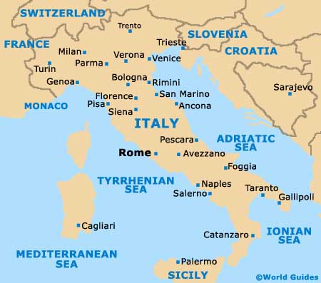
Most people travelling to Venice for the first time expect spectacular architecture, grand bridges and beautiful canals, and few are disappointed. Venice is a city of islands and lies off the north-eastern coast of mainland Italy, in the Veneto area.
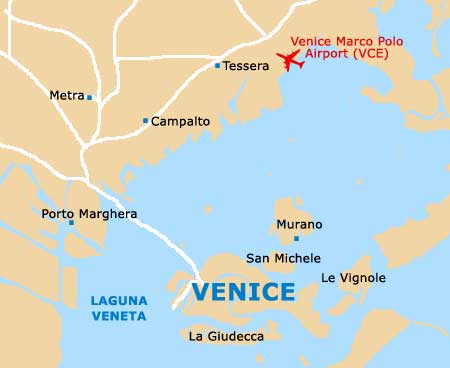
Home to two separate airports, the Venice Marco Polo Airport (VCE) is where most schedule flights arrive and can be found to the north of the city, along the edge of the famous lagoon. From the airport, the heart of the city can be reached in minutes and many people choose to take one of the regular Alilaguna water buses and luxurious water taxis, both of which provide a scenic way to start your trip.
Venice Marco Polo Airport (VCE) Maps: Important City Districts
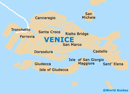
The city's tourist information outlet is located in the Palazzina del Santi, on the waterfront, and has become known as the Venice Pavilion. Venice itself is made up of 118 different islands and is divided into six main districts, which are known locally as 'sestieri'.
The main artery of Venice is without doubt the Grand Canal, which is around 4 km / 2.5 miles in length and splits the city into two main areas. Many of the major landmarks line the Grand Canal and are best viewed from the water itself, where their elaborate facades reflect in the shimmering water.
Located to the east of the canal is the prominent San Marco district, a bustling tourist hotspot in Venice where many top sights can be found, together with a large concentration of restaurants around the main square. Further east you will find Venice's Castello district, while the Cannaregio regions lies to the north.
The city's largest district is the Dorsoduro sestieri, which is located on the opposite side of the Grand Canal. Nearby and close to the Piazzale Roma, the Santa Croce area of Venice follows the lines of the canal, joining the smart San Polo neighbourhood just before it reaches the world-famous Rialto Bridge.
Italy Map

Venice Map


