Venice Marco Polo Airport (VCE)
Driving Directions / Travel by Car
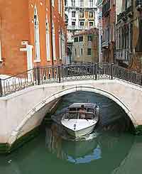
(Venice, Italy)
The busy Venice Marco Polo Airport (VCE) is within easy driving distance of the city and the A4 is the fastest way to reach Venice from either the east or west.
This main road also connects Turin with Trieste and runs through Milan and Mestre.
Marco Polo Airport is located to the north of Venice, on the mainland, and close to both Tessera and Campalto. The A27 (Bretta Aeroporto Marco Polo) leads directly to the grounds from the western side, off the A4 (Autostrada Venezia-Trieste).
Directions to Venice Marco Polo Airport (VCE) from the city centre:
- Marco Polo Airport is situated 13 km / 8 miles from the heart of Venice city centre
- The airport is located off the main motorway, close to the Venice / Mestre junction
- VCE Airport is situated off the main SS14 Airport Road
- The journey from central Venice to the airport will last approximately 15 minutes
Directions to Venice Marco Polo Airport (VCE) from the north:
- Belluno is situated to the north of Marco Polo Airport
- The main roads to the airport from the northern outskirts of Venice include the A27 motorway, which travels past Treviso
Directions to Venice Marco Polo Airport (VCE) from the south:
- Rimini is situated to the south of Marco Polo Airport
- The main roads to the airport from the southern outskirts of Venice include the A14 and A13 motorway, which travels past Padova
Venice Marco Polo Airport (VCE): Virtual Google Maps
